Jericho Lands planning program
About the Jericho Lands planning program
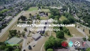
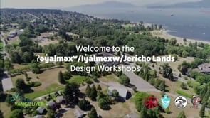
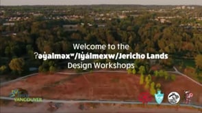
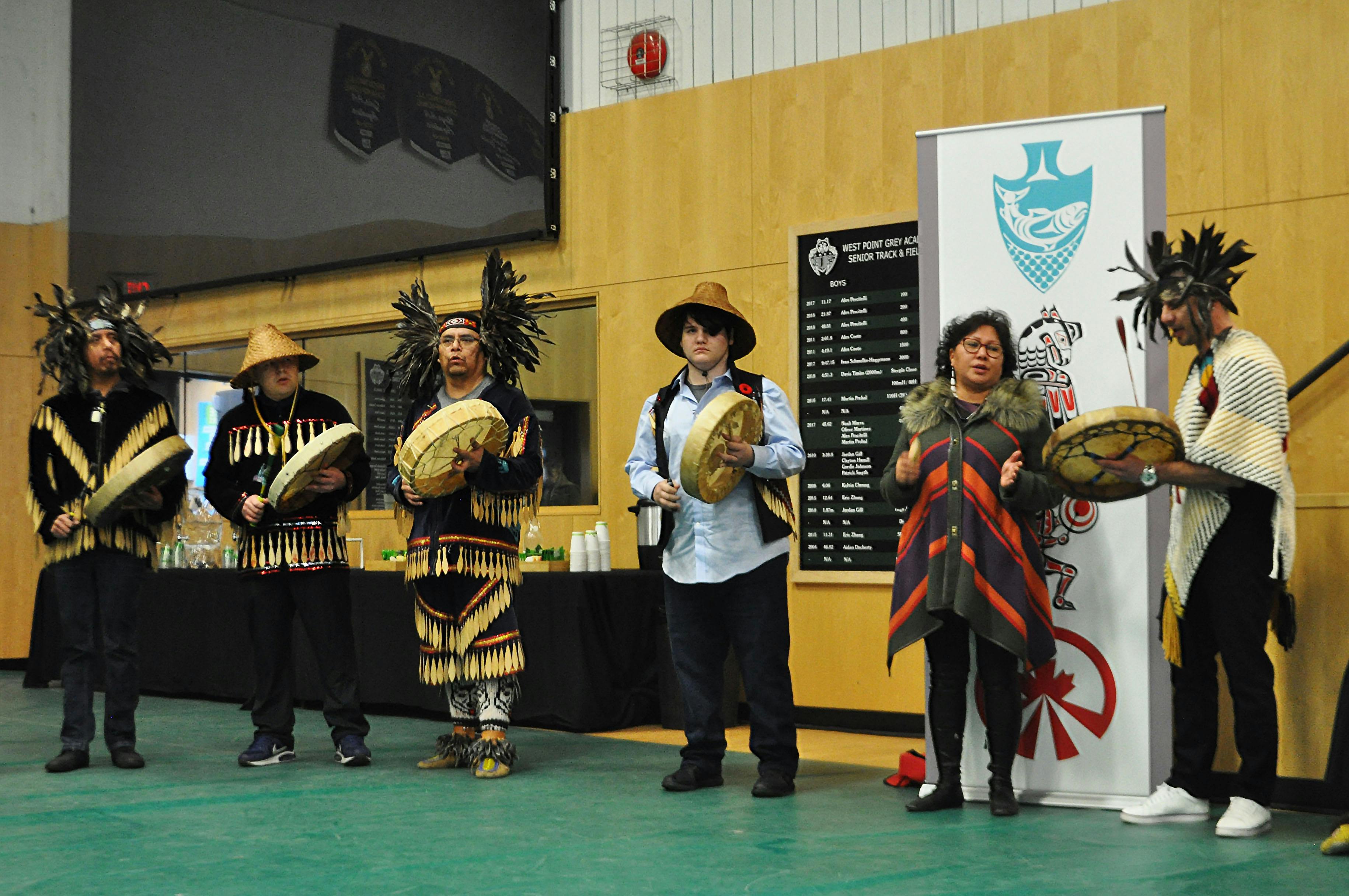
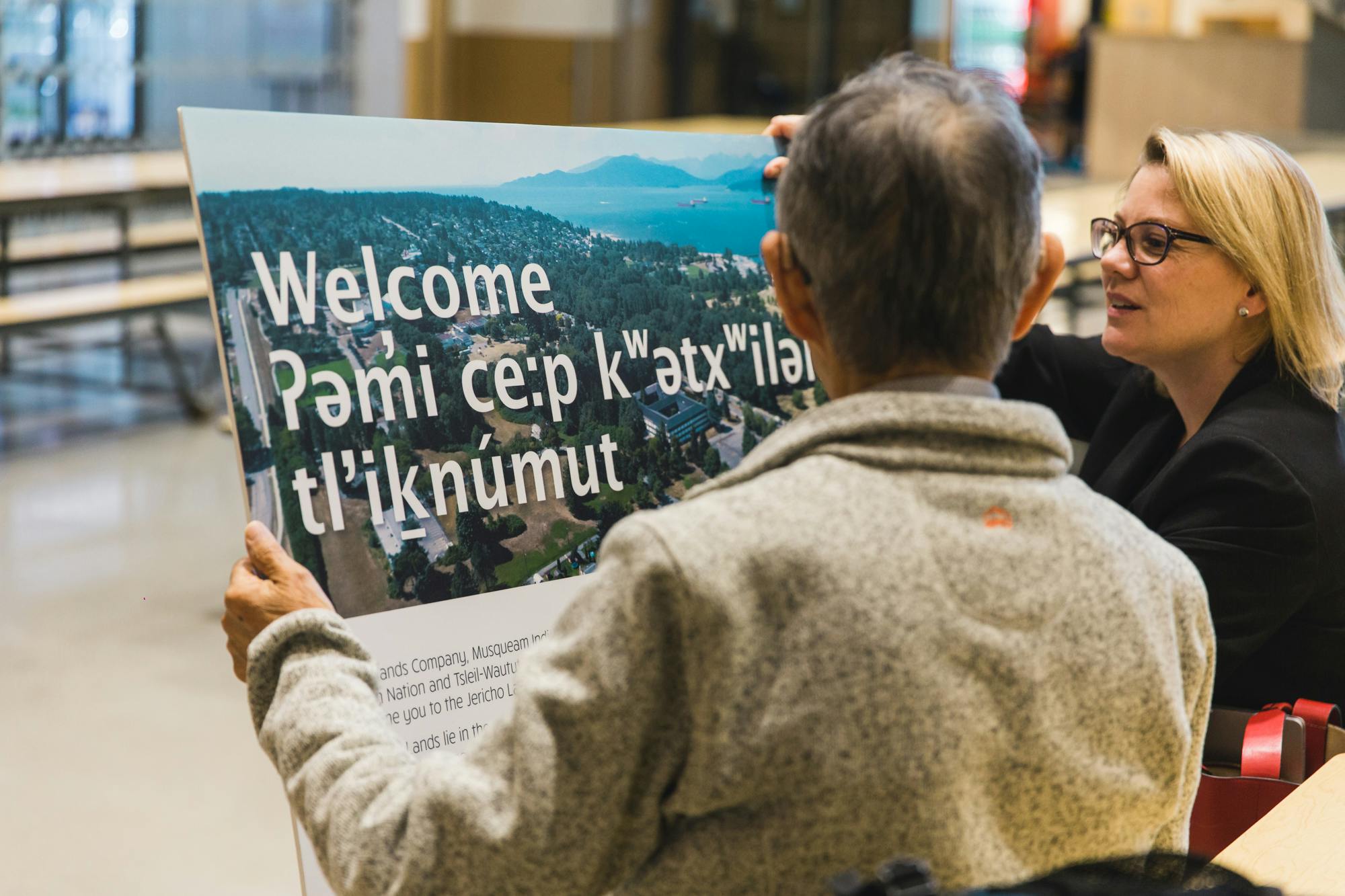
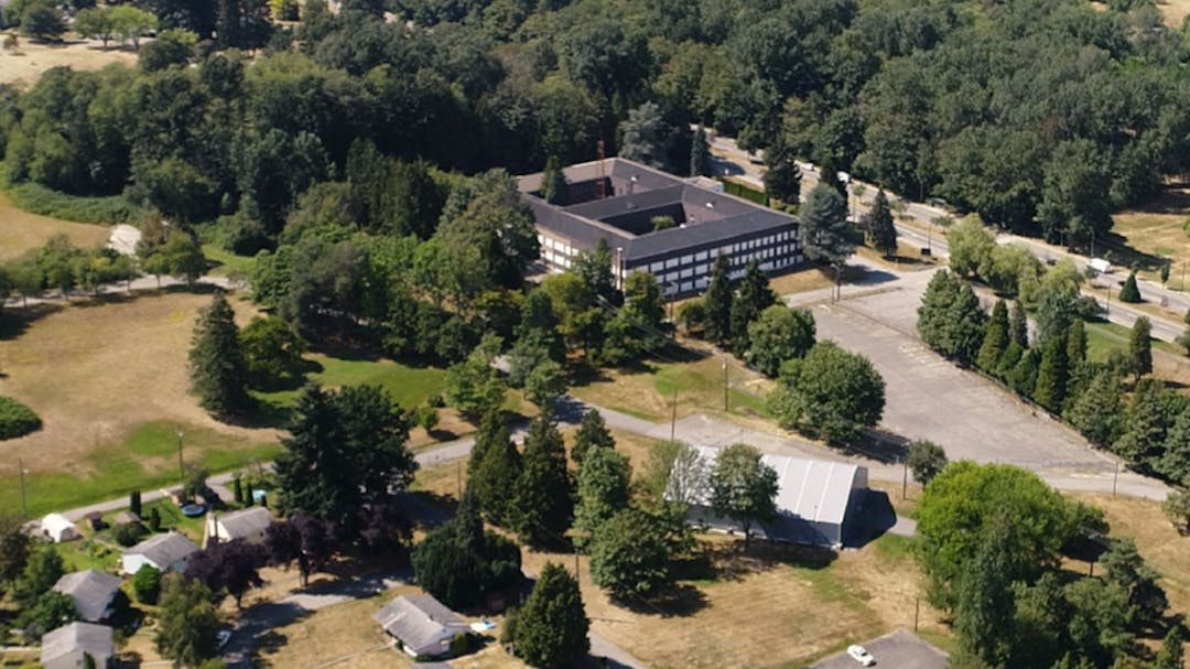
The Jericho Lands are within the unceded traditional territories of the xʷməθkʷəy̓əm (Musqueam), Sḵwx̱wú7mesh (Squamish), and səlilwətaɬ (Tsleil-Waututh) Nations. A policy statement to guide future development of the 90-acre site was approved by Council in January 2024.
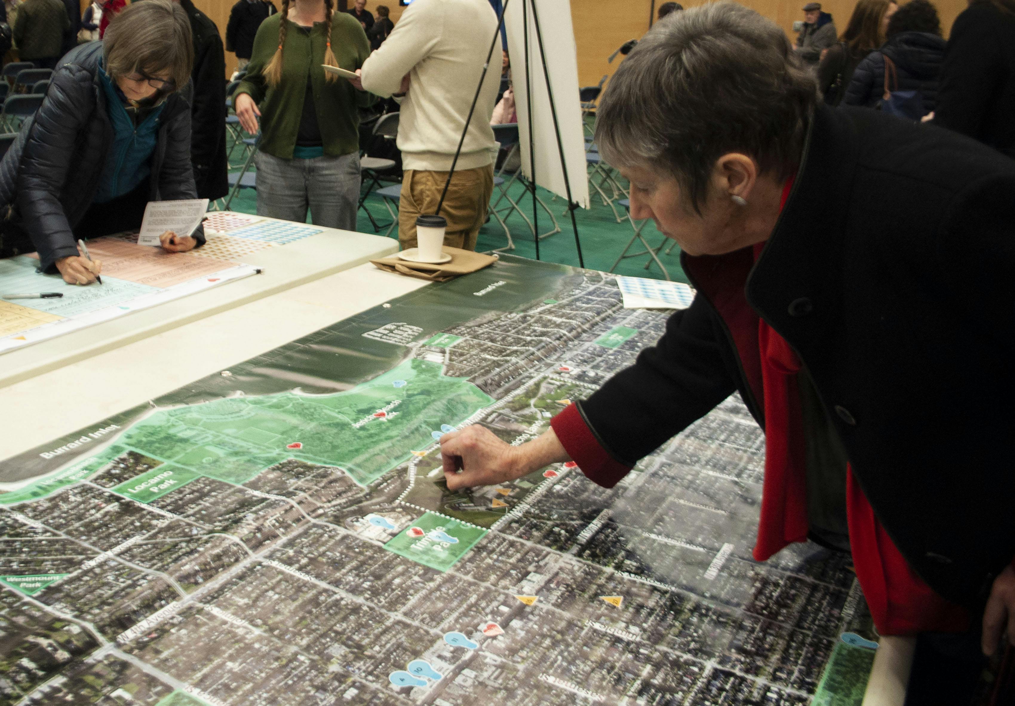
The Policy Statement establishes planning principles and policies that will guide future rezonings and redevelopment of the site over the next 25-30 years. The ʔəy̓alməxʷ/Iy̓álmexw/Jericho Lands plan includes a mix of land uses that will create a high-density, mixed-use community on rapid transit with a variety of residential, commercial, light industrial, cultural and institutional uses. This will provide approximately 13,000 new homes for around 24,000 residents and employment spaces for around 3,000 new jobs in a variety of building forms and heights ranging from 4 to 49 storeys.
The program was developed at the request of the landowners, a joint venture partnership between the MST Partnership and Canada Lands Company (CLC). Read the Council approved Jericho Lands Policy Statement (January 2024).
Documents
-
 Policy Statement
-
Draft Policy Statement
-
Phase 4
-
Phase 3.5
-
Phase 3
-
 Jericho Lands Phase 3 Engagement Summary PDF 3.8MB
-
Jericho Lands Community Newsletter - October 2021 (PDF, 5MB)
-
Phase 3 Kick-Off event presentation slides (PDF, 26.2MB)
-
Section 1: Introduction to the process - City of Vancouver (PDF, 6.1MB)
-
Section 2: Introduction to the landowners - MST & CLC Joint Venture Partnership (PDF, 5MB)
-
Section 3: Background and planning process - City of Vancouver (PDF, 12MB)
-
Section 4: MST engagement and cultural inspiration - MST & CLC Joint Venture Partnership (PDF, 13.3MB)
-
Section 5: Conceptual site plan options - MST & CLC Joint Venture Partnership (PDF, 30.1MB)
-
Section 6: Additional information & next steps - City of Vancouver (PDF, 2.3MB)
-
-
Phase 2
-
Phase 2 Public Engagement Summary (August 2021) PDF, 11.4MB
-
Jericho Lands Draft Guiding Principles (June 2021) PDF, 160KB
-
Jericho Lands Emerging Site Planning Ideas (June 2021) PDF, 12.2MB
-
Site Analysis Panels (February 2021) PDF, 9.3MB
-
Discussion Guide Primer (March 2021) PDF, 1,098KB
-
Discussion Guide: Natural Systems and Open Space (March 2021) PDF, 2MB
-
Discussion Guide: Connections and Mobility (March 2021) PDF, 1,824KB
-
Discussion Guide: Inclusive Neighbourhood (March 2021) PDF, 2.2MB
-
Discussion Guide: Sustainability and Resilience (March 2021) PDF, 1,985KB
-
-
Phase 1
-
Background Phase
-
Launch and Open House - City Information Display Boards (March 2019) PDF, 11MB
-
Launch and Open House - Joint Venture Partnership Information Display Boards (March 2019) PDF, 2.4MB
-
Terms of Reference - Jericho Lands Working Group (May 2019) PDF, 453MB
-
Summer Information Pop-Up Booths - City Information Display Boards (June-July 2019) PDF, 2.7MB
-
-
Council Reports and Minutes
-
Jericho Lands Planning Program - Report to Council (June 23, 2021) PDF, 4.4MB
-
Council Minutes (June 23 and 24 2021) PDF, 552KB
-
Council Minutes (January 30, 2019) PDF, 104KB
-
Council minutes (July 24, 2019) PDF, 133KB
-
Rapid Transit from Arbutus to UBC - Report to Council (January 2019) PDF, 361KB
-
Jericho Lands Policy Planning Program - Report to Council (July 2018) PDF, 829KB
-
-
Related Policy Documents